Cartographic Gallery

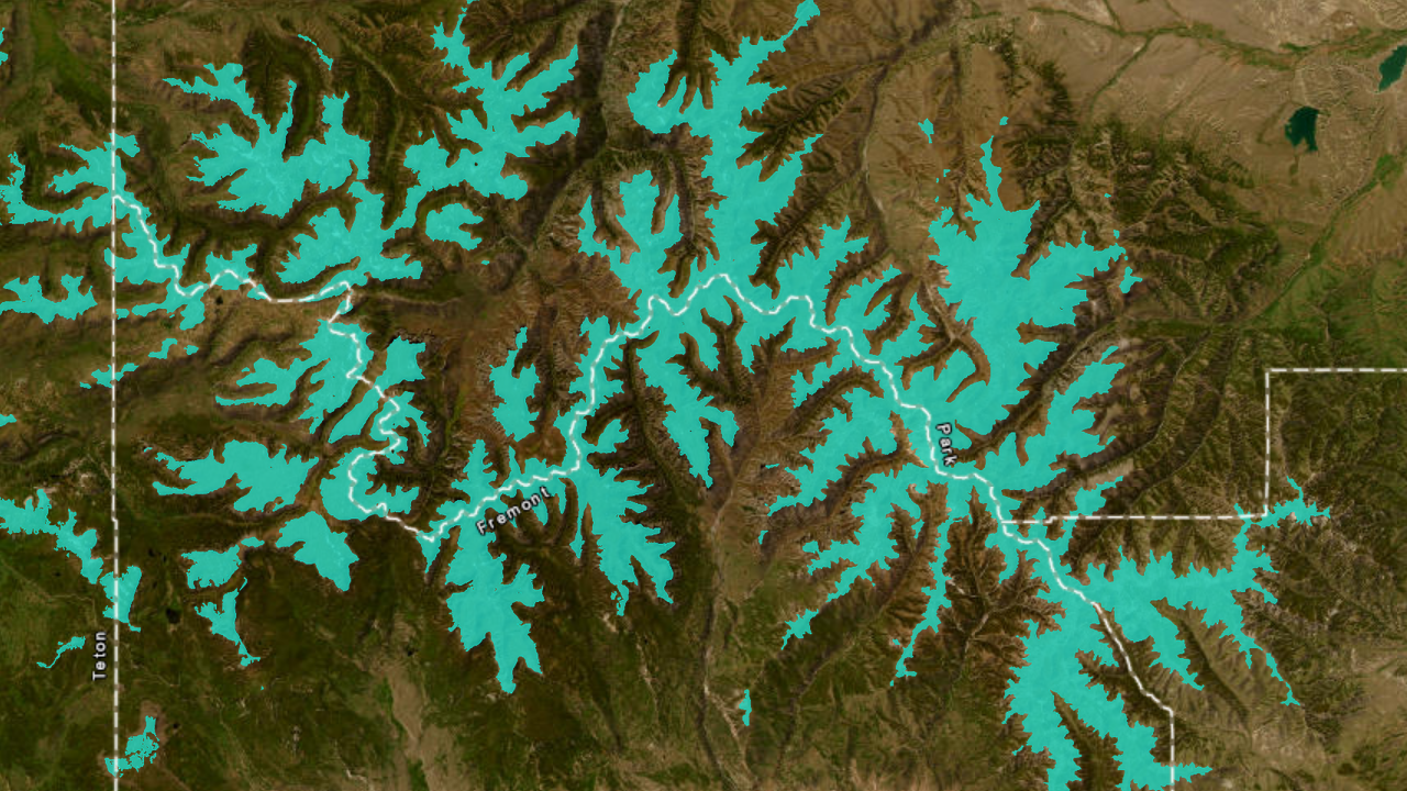
North American Alpine
Long-term project on behalf of the Betty Ford Alpine Gardens in Vail, CO leveraging 30m multivariable remote sensing data to model alpine plant habitat above treeline throughout the North American continent. Results support the North American Alpine Plant Strategy in prioritizing conservation and survey areas. Click to explore current interactive map.

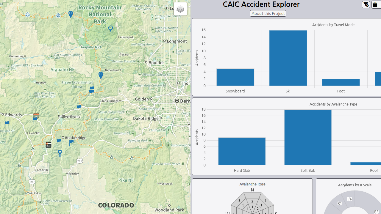
CAIC Accident Explorer
Coordinated effort between Colorado Mountain College GIS students and Colorado Avalanche Information Center (CAIC) to create interactive explorer of mapped avalanche accidents. Includes ability to filter map by calendar, accident type, avalanche type, aspect, R Scale, and D Scale with connected charts and graphs.