You have data. Let's Get Mapping.

Geographic Research
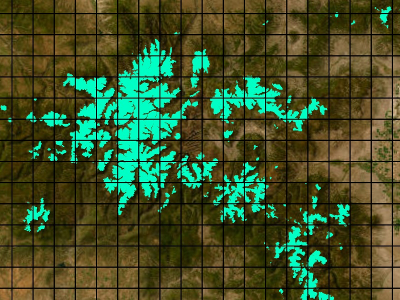
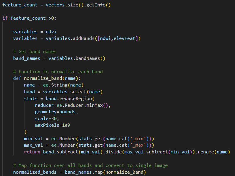
Offering robust spatial statistics, geographic sampling, demographic and environmental analyses, remote sensing, mobility data processing, and data visualization.

Interactive & Print Maps
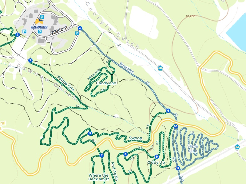
Your work deserves beautiful cartography. Boost the impact of your analysis with communicative maps and scientific illustrations.
- © Globechalk Geographics, LLC
- HTML5 UP
